Steep military-built hiking trail in Gibraltar’s Upper Rock Nature Reserve.
Mediterranean Steps is a hiking and nature trail within Gibraltar’s Upper Rock Nature Reserve. Built by the British military as part of a communications system, it now links Martin’s Path to Lord Airey’s Battery near the Rock of Gibraltar summit, offering views over the Strait and surrounding landscapes.
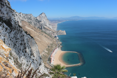
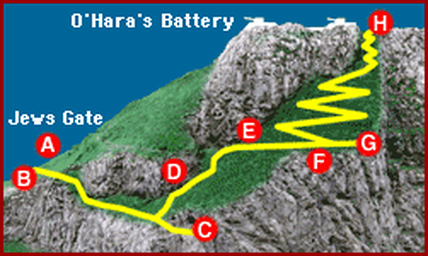
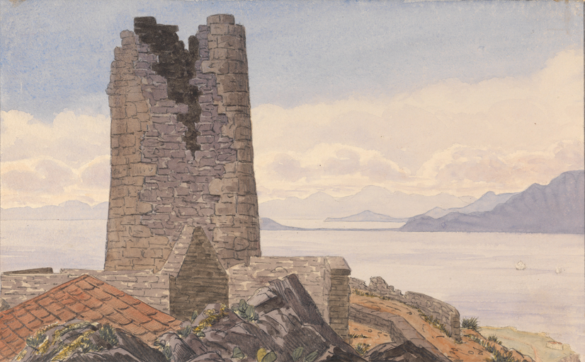
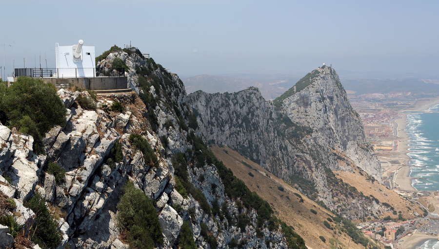
Mediterranean Steps is a path and nature trail in the British Overseas Territory of Gibraltar, located entirely within the Upper Rock Nature Reserve. It is one of the footpaths of Gibraltar and serves as a pedestrian route linking Martin’s Path to Lord Airey’s Battery near the summit of the Rock of Gibraltar. The trail offers views over the Strait of Gibraltar, Windmill Hill, Europa Point, the Great Gibraltar Sand Dune, Gibraltar’s east side beaches, the Mediterranean Sea and the Spanish Costa del Sol. The Mediterranean Steps were built by the British military as part of a military communications system providing access to defence posts at the southern end of the Rock. At the highest point are the two 9.2 inch guns of Lord Airey’s Battery and O’Hara’s Battery, with other gun emplacements and ancillary World War II buildings along the route. The steps were restored in 2007 by the Bonita Trust, the Government of Gibraltar and the Gibraltar Ornithological and Natural History Society. The route zig-zags up from Martin’s Path, passes the Goat’s Hair Twin Caves, a derelict pre-war tunnel and pumping station, and continues to a viewing platform before emerging near the former O’Hara’s Tower, a watchtower once intended to observe shipping in the port of Cádiz.