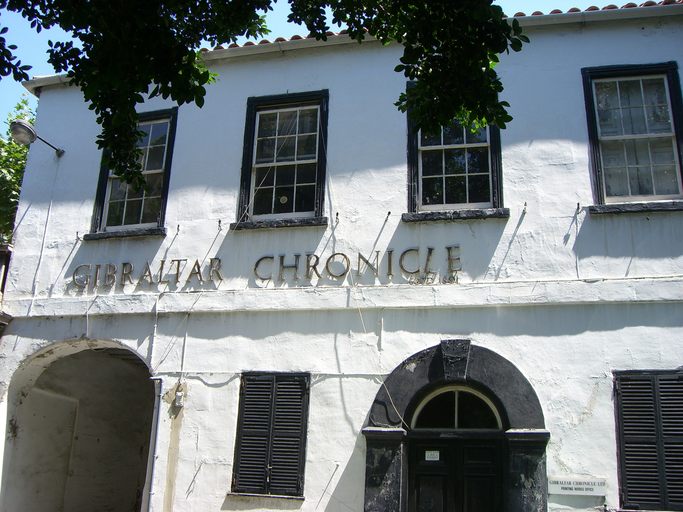
Historic Gibraltar street with barracks, public buildings, commerce and residences.
Town Range is a major historic street in Gibraltar’s old town, running parallel to Main Street. Once notorious for poor sanitation and the 1804 yellow fever outbreak, it now combines residential, commercial and public buildings, including former barracks, St Mary’s School, the Garrison Library and several government and business offices.
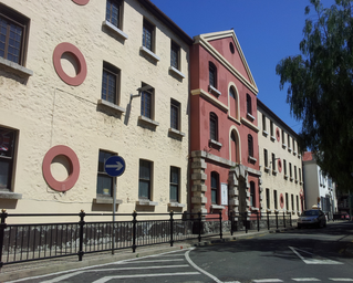
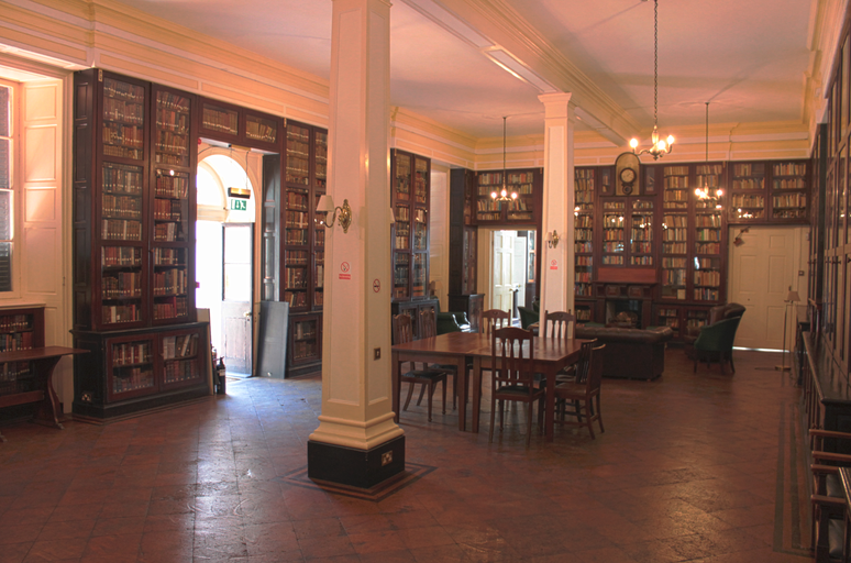
Town Range is a major historic road in the British Overseas Territory of Gibraltar, situated in the old town where it runs parallel to Main Street and part of Prince Edward’s Road. It is one of three main parallel streets on the west slope of the Rock of Gibraltar, likely dating back to the Moorish period. At the time of the 1704 Anglo-Dutch Capture of Gibraltar it was partly developed and known as Calle Nueba (New Street). The street became closely associated with the Town Range Barracks, twin blocks built in 1740 for soldiers, later converted to commercial and residential use; one block now houses St Mary’s School. Its Spanish name, Calle Cuartel, reflects this barracks history. Town Range once suffered from wholly inadequate sanitation and lack of running water and was notorious for filthiness. An overcrowded tenement called Boyd’s Buildings at its north end was the source of Gibraltar’s devastating 1804 yellow fever epidemic. Today the street contains notable public and institutional buildings including the rear entrance to 6 Convent Place (offices of Gibraltar’s Chief Minister), St Andrew’s Church, the Garrison Library, the Gibraltar Environmental Agency, the Gibraltar Senior Citizens Social Club, and large organisations such as BetVictor and AquaGib in Leanse Place.