Major east–west road in northeastern Gibraltar, south of airport.
Devil's Tower Road is a street in northeastern Gibraltar, running generally east–west south of Gibraltar International Airport. It extends from a roundabout on Winston Churchill Avenue to Eastern Beach Road, providing access to Gibraltar’s northern and eastern sides. The road was named after Devil's Tower, a seventeenth-century watchtower.
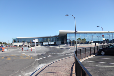
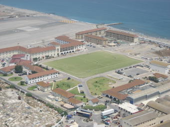
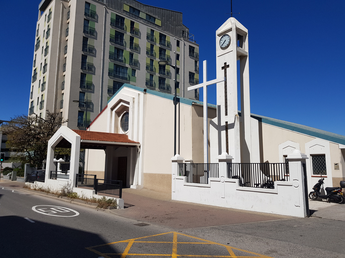
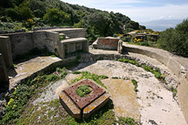
Devil's Tower Road is a street in the British Overseas Territory of Gibraltar, at the southern end of the Iberian Peninsula. Located in northeastern Gibraltar, it runs generally in an east–west direction. The road lies south of Gibraltar International Airport, North Front Cemetery, and Devil's Tower Camp. It extends from the roundabout at Winston Churchill Avenue in the west to Eastern Beach Road in the east, and is one of only two roads in Gibraltar to cross the full width of the peninsula. The road provides access to the northern and eastern sides of Gibraltar. Devil's Tower Road was named after Devil's Tower, a seventeenth-century watchtower that formerly stood at the eastern end of the road. By 2011, the road had been converted into a dual carriageway and on-street parking was removed. A government plan to rename it North Front Avenue met with community opposition. The whole territory north of Devil's Tower Road was not ceded by Spain to Britain in the Treaty of Utrecht, and Spain does not recognise British administration over that area. Plans for new airport access roads and a tunnel involved Devil's Tower Road as part of the reconfigured route serving the frontier and Gibraltar International Airport.