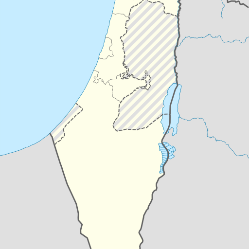
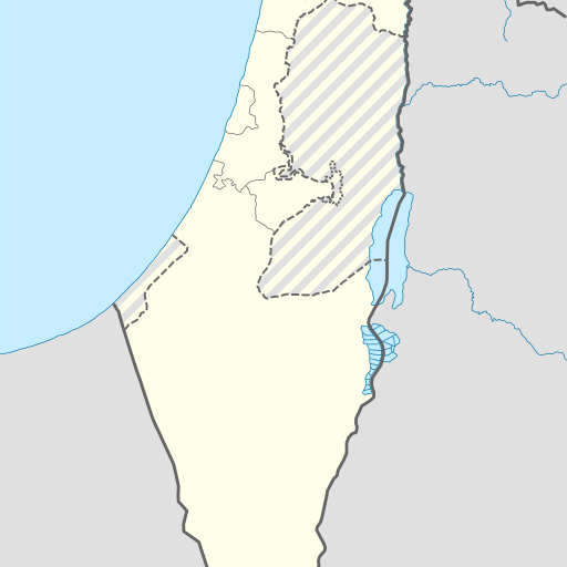
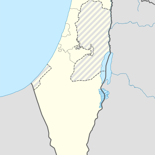
Cave in Israel's Northern District, Yizre'el region.
Cave in Israel's Northern District, Yizre'el. Located at 32.61667, 35.49722 coordinates. Known as Me‘arat ‘En Shaẖal, it is a cave with an underground lake and a length of approximately 157 meters. The population density around the cave is relatively high, with a city like 'Afula nearby. The climate is Mediterranean with hot summers and mild winters.
Me‘arat ‘En Shaẖal is a cave located in the Northern District of Israel, near the city of Afula. The cave sits at an elevation of approximately 59 meters above sea level and is situated within hilly terrain. Nearby features include other caves, springs, and agricultural land. The climate around Me‘arat ‘En Shaẖal is Mediterranean with hot summers and mild winters. Average temperatures range from about 12°C in January to 35°C in August. Annual precipitation totals around 419 millimeters, with most rainfall occurring between November and March. Me‘arat ‘En Shaẖal has historical significance as part of the region's geological heritage. The cave is a notable site for scientific research and exploration due to its unique features and potential archaeological value. It attracts visitors interested in geology and local history but lacks specific management or conservation status beyond general environmental protection measures. The surrounding area supports diverse flora typical of Mediterranean climates, including olive groves, vineyards, and other agricultural crops. Nearby villages and towns contribute to the cultural landscape, offering opportunities for tourism and educational visits related to natural and human history. Me‘arat ‘En Shaẖal remains an important point of interest for both locals and tourists interested in exploring Israel’s geological wonders and understanding its rich historical context.