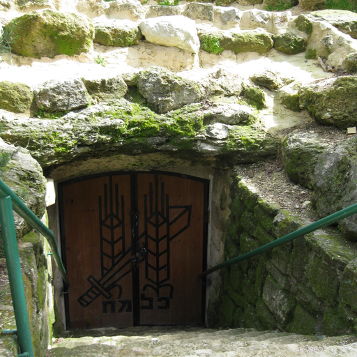
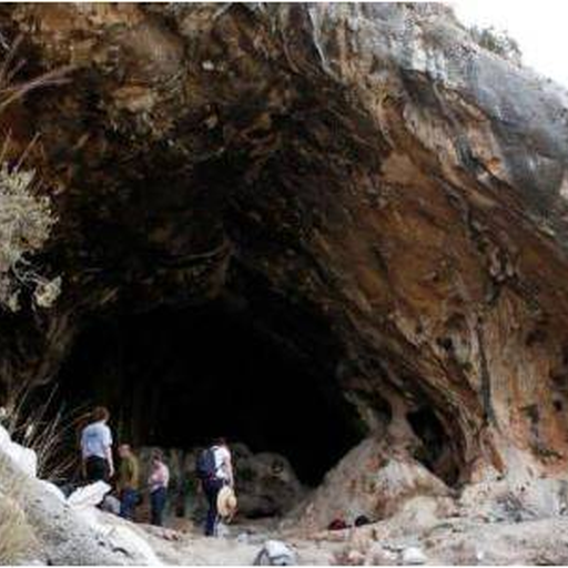
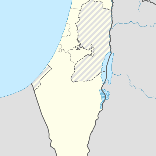
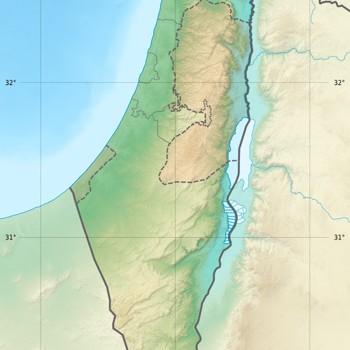
Cave in Israel's Northern District, Yizre'el region.
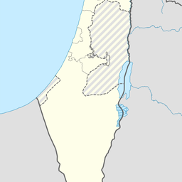
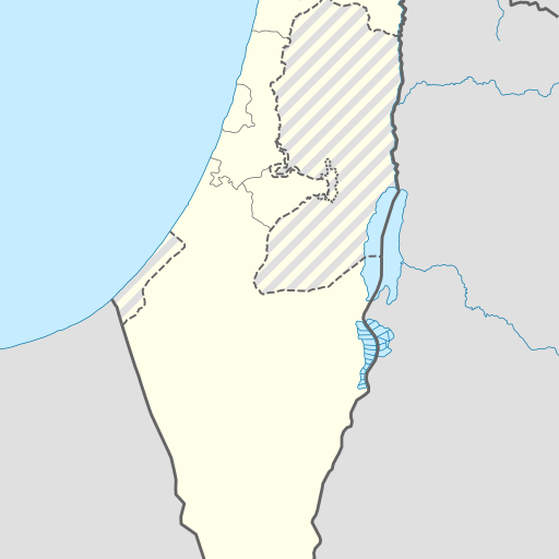
Me‘arat Yeroqet is a cave in northern Israel's Yizre'el district. Located at 32.56943, 35.14959, it sits on a hill with views of the surrounding area. The region features diverse landscapes including forests and other caves.
Me‘arat Yeroqet is a cave located in the Northern District of Israel, specifically in the Yizre'el region. Situated at an elevation of 313 meters above sea level, the cave is part of a hilly landscape to the south, while the northern area is relatively flat. The surrounding region is characterized by a moderate climate, with average temperatures ranging from 11°C in January to 31°C in July. Annual rainfall averages 553 millimeters, with January being the wettest month and July the driest. The area around Me‘arat Yeroqet is sparsely populated, with approximately 199 people per square kilometer. The nearest larger town is Umm el Faḥm, located about 5.8 kilometers to the south. The landscape is predominantly agricultural, with fields and farms surrounding the cave. Natural features such as springs, other caves, and forests are also present in the vicinity, adding to the region's ecological diversity. Me‘arat Yeroqet is a notable geographic feature within the Northern District, offering insights into the natural history and geology of the area. Its location and the surrounding environment make it a point of interest for both locals and visitors interested in exploring the natural beauty and geological formations of Israel.