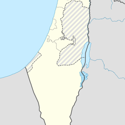
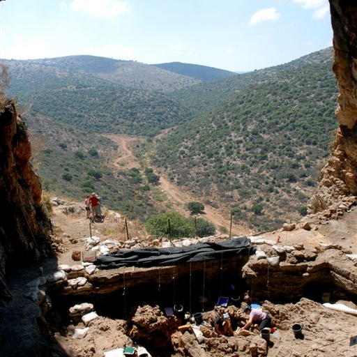
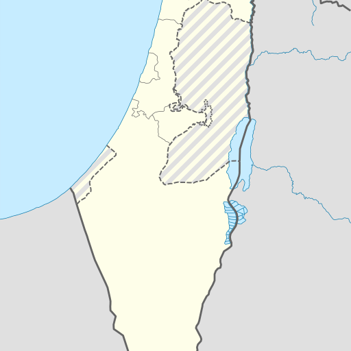
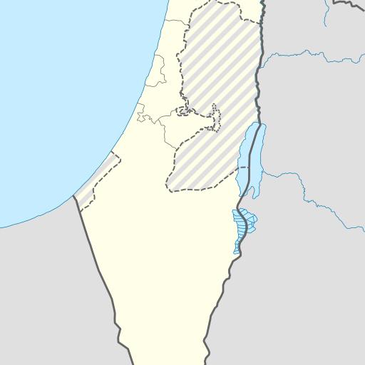
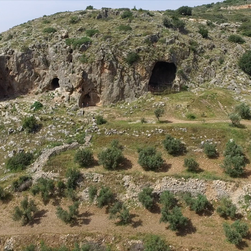
Underground cave in Northern District, Israel.
Underground cave in Israel's Northern District, Akko. Located 275 meters above sea level, the Me'arat H̱illazon Taẖtit cave is situated near Karmi'el, with a population density of approximately 90 people per square kilometer. The climate is Mediterranean, with an average temperature ranging from 10°C in January to 32°C in July.
Me‘arat H̱illazon Taẖtit is a cave located in the Northern District of Israel, near Karmi'el. Situated at an elevation of 275 meters above sea level, it lies within a hilly region characterized by varied topography and vegetation. The nearest significant landmark is Shemurat Mitlol Ẕurim, approximately 3.3 km to the north. The cave's surroundings are sparsely populated, with about 90 people per square kilometer in the vicinity. Nearby features include other caves, springs, and forests. The climate around Me‘arat H̱illazon Taẖtit is Mediterranean, with average temperatures ranging from 10°C in January to 32°C in July. Annual precipitation averages 553 mm, primarily occurring during winter months. Me‘arat H̱illazon Taẖtit has been a subject of study and documentation by various sources, including Geonames.org and NASA Earth Observations datasets. Its exact coordinates are 32°53'54"N, 35°15'46"E. The cave's significance lies in its geological and ecological importance within the region, contributing to local biodiversity and scientific research efforts.