Description
德国勃兰登堡州的 Löwendorfer Berg 山丘,设有观景塔。
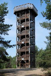
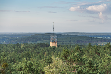
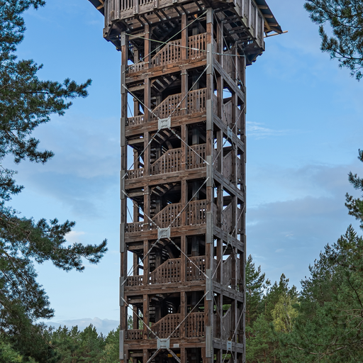
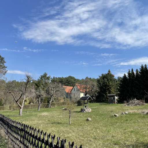
Löwendorfer Berg位于德国勃兰登堡州特雷宾,是一座高103米的山丘。它形成于约2万年前的维斯瓦冰期。山上有一个建于2012年的21.7米高的观景塔,提供了俯瞰周围自然公园的视野。塔的上部目前因维修而关闭。
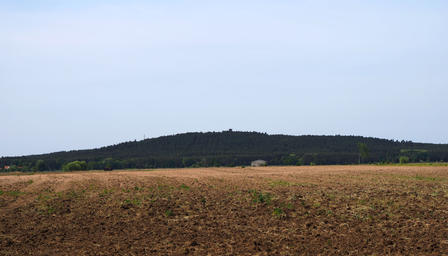
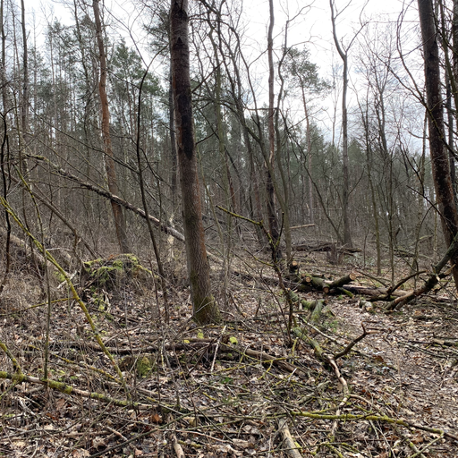
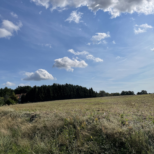
Löwendorfer Berg,也称为Vorderer Löwendorfer Berg,是位于德国勃兰登堡州特雷宾的一座高103米的山丘。它形成于大约2万年前的维斯瓦冰期末期,是Nuthe-Nieplitz自然公园内的最高点。山丘的地质由冰期沉积的砾石、泥灰和沙子构成。20世纪20年代,这里曾用于滑翔飞行,二战后东侧山坡上建有木制滑雪跳台,直到20世纪60年代末仍用于比赛。如今,该区域在适宜的天气条件下被用作雪橇滑道。山上有一座21.7米高的观景塔,由欧洲社会基金资助,于2011至2012年间建成,耗资约19万欧元。观景塔由112级台阶组成,通往一个观景平台,平台上有标识牌指示可见的地标。2021年12月,由于木材受黄孔菌侵蚀,塔的上部被关闭,预计修复费用为10万欧元。目前,游客可以攀登至第五层中间平台。Löwendorfer Berg也是欧洲远足径E10的一部分,并且是66湖区域公园路线的第16段。山丘周围的景观包括农田、森林和平原,气候为半寒带气候。
Photos (3)
© Bautsch
·
CC0
Free Art License
© Membeth
·
CC BY-SA 3.0
Ratings
Fame:
40
Wow:
35
Ease of Access:
15
Physical Demand:
20
Safety:
15
Tourist Density:
30
Hill with local historical significance and minor online presence; known within Brandenburg but not internationally recognized.
Small hill offering modest views over the surrounding landscape; interesting for locals but lacks global appeal.
Easily accessible via marked trails from Löwendorf, part of established hiking routes like E10 and 66 Lakes Regional Park Route.
Short hike to reach the summit; suitable for most visitors including families with children, no technical skills required.
Germany has low safety risks; area is safe for tourists without notable natural or political hazards.
Local attraction that draws day hikers and nature enthusiasts; moderate footfall but not a major tourist destination.
Location & Coordinates
52.219133, 13.188314
Nearby Points (8)
Löwendorfer Berg
Hill with observation tower in Trebbin, Brandenburg.
0 m

Aussichtsturm auf dem Löwendorfer Berg
Observation tower on Löwendorf Hill in Brandenburg, Germany.
11 m
Hinterer Löwendorfer Berg
Hill in Brandenburg, part of the Löwendorfer Berge range.
530 m

Löwendorfer Berge
Hills near Berlin in Brandenburg, Germany.
437 m
Finkenberg (Trebbin)
Residential area in Trebbin, Brandenburg, Germany.
1.3 km
📍
Trebbin (munisipyo)
843 m
Priedel
Residential area in Trebbin, Brandenburg, Germany.
897 m
Finkenberg (Berg bei Trebbin)
Small hill near Trebbin, Landkreis Teltow-Fläming, Germany.
1.5 km