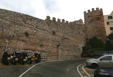
Sixteenth‑century defensive curtain wall within Gibraltar’s Upper Rock Nature Reserve.
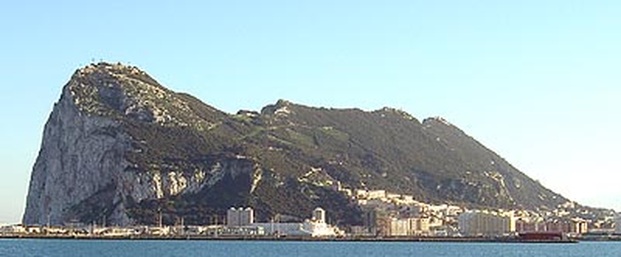
The Moorish Wall, also known as the Philip II Wall, is a 16th‑century defensive curtain wall forming part of the southern fortifications of Gibraltar. Built between 1558 and 1575 under Philip II of Spain, it climbs the Rock of Gibraltar within the Upper Rock Nature Reserve and is open to the public.
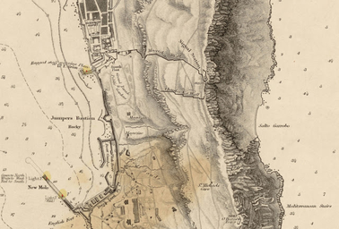
The Moorish Wall, also called the Philip II Wall and formerly Muralla de San Reymondo, is a defensive curtain wall that formed part of the southern fortifications of the British Overseas Territory of Gibraltar. It lies within the Upper Rock Nature Reserve and is owned by the Government of Gibraltar, which keeps it open to the public as part of the Fortifications of Gibraltar. Construction of the wall began in 1558 under Philip II of Spain and was completed by 1575. It was built in the 16th century as a southern defensive work on the Rock of Gibraltar. The wall runs from the top of a steep cliff above the lower section of the Charles V Wall, then continues up the slope of the Rock of Gibraltar to its crest, north of the upper section of the Charles V Wall. It runs up the slope to the Signal Station. Historically, the Moorish Wall functioned as a fallback defensive line behind the Charles V Wall. A 1786 description referred to “an old Moorish wall” continuing to the ridge of the Rock, with Charles V’s wall in front and the signal‑house between them, from which guards had an extensive view of the Mediterranean.