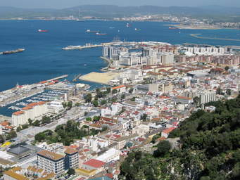
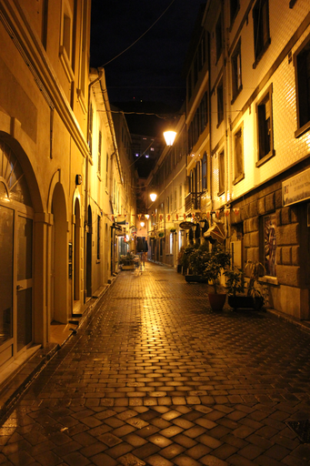
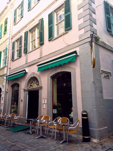
Urban area between Rock of Gibraltar and Bay, containing most residents.
Westside is an area of the British Overseas Territory of Gibraltar, lying between the western slopes of the Rock of Gibraltar and the eastern shores of the Bay of Gibraltar. In 2012 it had 31,078 inhabitants, about 98% of Gibraltar’s population, concentrated in six Major Residential Areas.
Westside is an urban area within the British Overseas Territory of Gibraltar. It occupies the land between the western slopes of the Rock of Gibraltar and the eastern shores of the Bay of Gibraltar. In 2012 Westside had a population of 31,078 people, containing 98% of Gibraltar’s total territorial population of 34,000. The total area is 5.87 square kilometres. Westside includes six of Gibraltar’s seven Major Residential Areas: North District, Reclamation Areas, Sandpits Area, South District, Town Area and Upper Town. The remaining Major Residential Area, the Eastside, accounts for less than 2% of the territory’s population. Population figures for 2012 show 4,267 residents in North District, 13,356 in the Reclamation Areas, 2,053 in Sandpits Area, 5,681 in South District, 3,264 in the Town Area and 2,457 in Upper Town. Geographically, a network of narrow streets surrounds Main Street, which runs north–south through the old town. Grand Casemates Square stands at the northern end of Main Street and is one of two main squares, the other being John Mackintosh Square. The Governor’s Residence, known as The Convent, is located at the southern end of Main Street within Westside.