Historic north–south road in Gibraltar with city and bay views.
Flat Bastion Road is a north–south road in Gibraltar, the British Overseas Territory at the southern end of the Iberian Peninsula. Running along the west side of the Rock of Gibraltar, it offers views of the city and the Bay of Gibraltar and leads to the historic Flat Bastion fortification.
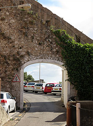
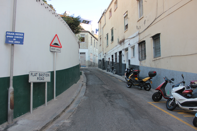
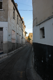
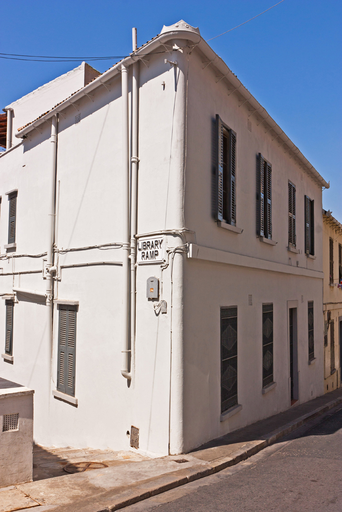
Flat Bastion Road is a road in Gibraltar, the British Overseas Territory at the southern end of the Iberian Peninsula. The north–south road runs along the west side of the Rock of Gibraltar, providing views of the city and the Bay of Gibraltar, and leading to the Flat Bastion fortification. It begins to the southeast of the Garrison Library, at the intersection of Prince Edward's Road and Castle Road, and becomes Gardiner's Road as it passes through Charles V Wall before reaching Europa Road. The road was previously known in Spanish as Senda del Moro, while the traditional Llanito name is Cuesta de Mr. Bourne. Married quarters and barracks were built along the road. In the nineteenth century, unsanitary conditions contributed to yellow fever outbreaks in the 1820s and diphtheria cases in the 1880s, linked to faulty sewers and cracked rainwater pipes connected directly to the sewer. In 1832, the Gibraltar Public School, a free English‑language school for poor children of all faiths, was established in a government building on Flat Bastion Road. It later continued as a school for girls into the early twentieth century. Today, the bastion’s magazine functions as a geological research facility and exhibition centre, and the barracks have been converted into affordable residential housing.