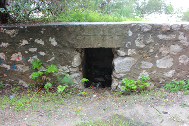
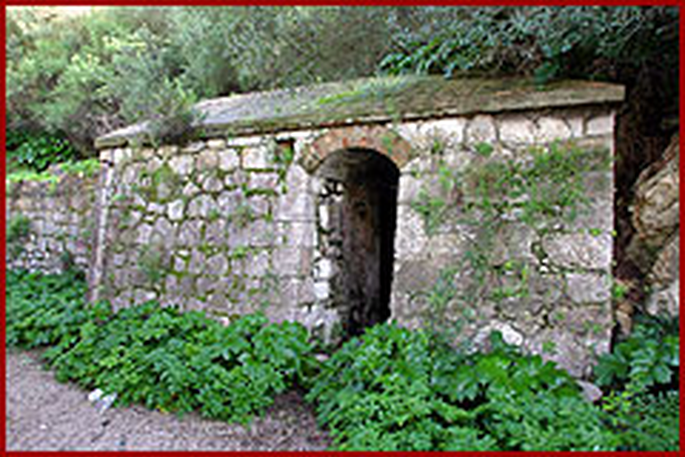
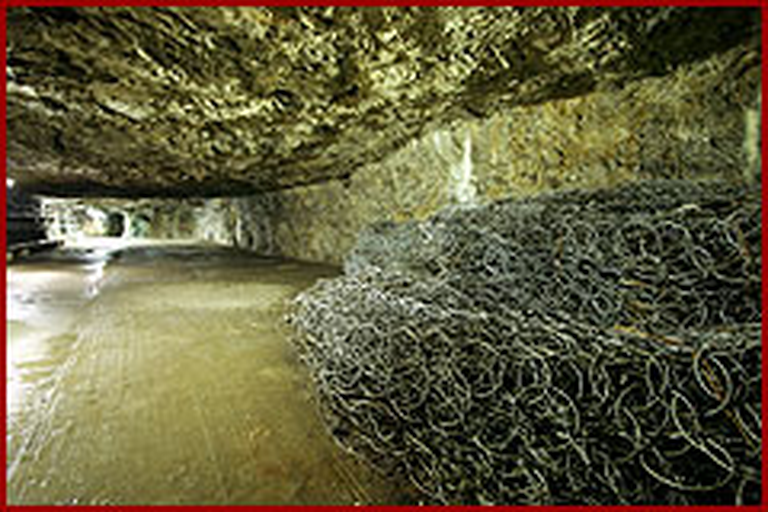
Abandoned rock-cut defensive trench on Gibraltar’s north-western Rock slopes.
King’s Lines are walled rock-cut defensive trenches on the lower north‑western face of the Rock of Gibraltar, part of Gibraltar’s Northern Defences and Fortifications. Originating under Moorish or Spanish control, they served in multiple sieges, later modified with tunnels and World War II gun positions. Today they are abandoned yet visitable by guided tour.
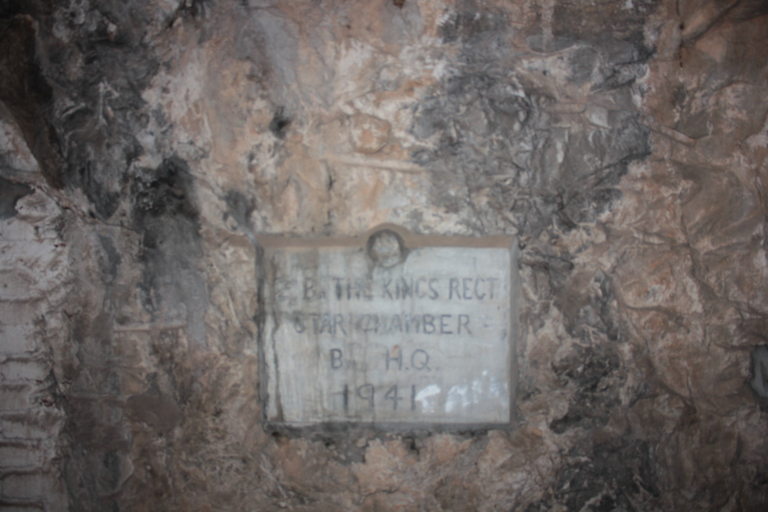
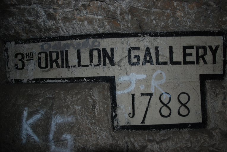
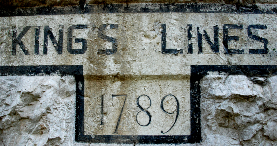
King’s Lines are walled rock-cut defensive trenches on the lower slopes of the north-west face of the Rock of Gibraltar, forming part of the Northern Defences within the Fortifications of Gibraltar. They were originally created sometime when Gibraltar was under Moorish or Spanish control and appear on a 1627 map by Luis Bravo de Acuña. A map of 1704 by Johannes Kip calls them the “Communication Line of the Round Tower.” The Lines were named for Charles, Archduke of Austria, after an Anglo‑Dutch force captured Gibraltar in 1704 during the War of the Spanish Succession. They saw action in the Twelfth Siege of Gibraltar, the Thirteenth Siege, and the Great Siege, when they were repeatedly bombarded. During William Green’s tenure as Senior Engineer they were repaired, improved, fortified, and the cliffs below were scarped. Tunnels and galleries, including the Hanover Gallery and King’s Gallery, linked them to the Landport, Prince’s Lines and Queen’s Lines, providing communication and bombproof shelter. Used as an artillery platform for over two hundred years, the Lines were adapted again during World War II for machine guns and Hotchkiss anti-tank guns. Now abandoned and overgrown, they are scheduled as an Ancient Monument and can be visited on guided tours.