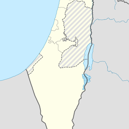
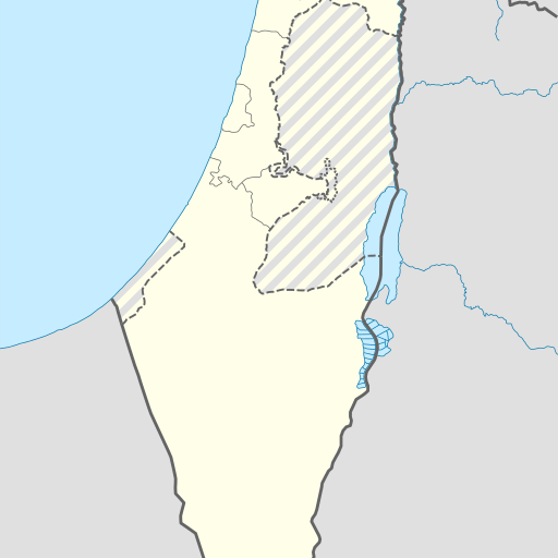
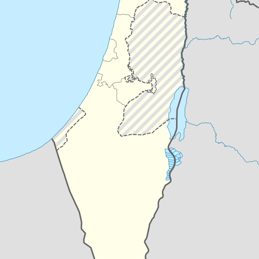
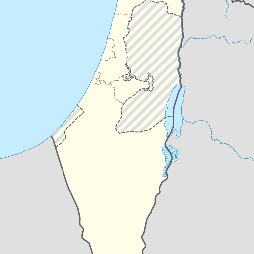
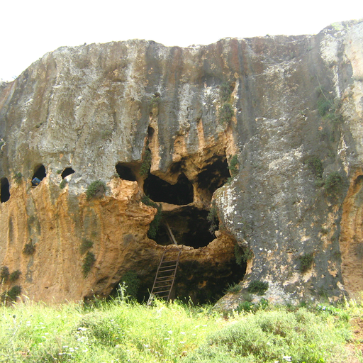
Cave in Israel's Northern District, Zefat region.
Cave in Israel's Northern District, located near Zefat. GeoNames ID 8135773. Height of 641 meters above sea level. Nearby is Shemurat Saẖlavim BiMenara, 2.4 km west of the cave. Population density of 636 people per square kilometer. Main city in the region is Qiryat Shemona, 4.7 km southwest. The climate is Mediterranean with hot summers and rainy winters.
Me‘arat Nezer is a cave located in the Northern District of Israel, near Qiryat Shemona. At an elevation of 641 meters above sea level, it sits on a hill surrounded by rolling hills and flatlands. The cave's exact dimensions are not specified, but it is part of a region known for its geological features including other caves and springs. The area around Me‘arat Nezer has a semi-arid climate with hot summers and mild winters. Average temperatures range from 10°C in January to 32°C in July. Annual precipitation averages about 449 millimeters, concentrated mainly during winter months. The region is sparsely populated, with the nearest significant settlement being Qiryat Shemona, approximately 5 kilometers away. Me‘arat Nezer's significance lies in its geological and historical context within Israel’s Northern District. While specific details about its discovery or exploration are not provided, it contributes to the understanding of the region's natural history and geology. The cave is part of a broader network of similar sites that attract scientific interest and tourism. The surrounding landscape features varied terrain with hills and flat areas, supporting vegetation typical of semi-arid regions. Nearby attractions include other caves and springs, making Me‘arat Nezer an integral part of the local geological heritage.