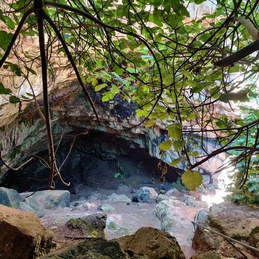
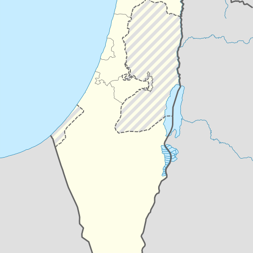
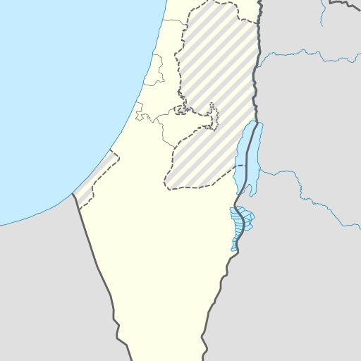
Cave in Israel's Northern District, located near Safed.
Cave in Israel's Northern District, Me'arat Merot is located at 33.0337 latitude and 35.52685 longitude. It is approximately 791 meters deep and covers an area of 1.5 square kilometers. The cave is situated in a mountainous region with a Mediterranean climate, featuring hot summers and mild winters.
Me‘arat Merot is a cave located in the Northern District of Israel, near Safed. Situated at an elevation of 360 meters above sea level, it is part of a karstic landscape featuring numerous caves and springs. The area around Me‘arat Merot is characterized by rolling hills to the north-west and flatter terrain to the south-east. Nearby attractions include other natural features like Tubers and forests. The cave’s location in the Upper Galilee region offers scenic views and a cooler climate compared to lower elevations. Summers are hot, with temperatures reaching up to 32°C, while winters can be mild, dropping to around 11°C. Annual precipitation averages about 419 mm, concentrated mainly during winter months. Me‘arat Merot is situated within the Eastern European Time zone (EET) and experiences daylight saving time in summer. The surrounding area has a population density of approximately 659 people per square kilometer, with Safed being the nearest major town at about 8 km to the south. The cave’s geological significance lies in its karstic formation, typical of this region known for its limestone bedrock and numerous underground water systems. While Me‘arat Merot is not a designated heritage site, it contributes to the local geology and tourism industry by offering insights into the area's natural history and geomorphology.