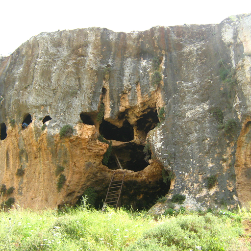
Cave in Israel's Northern District, located near Safed.
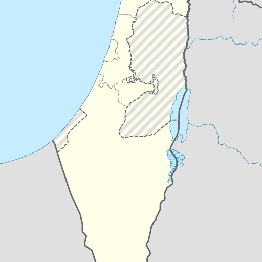
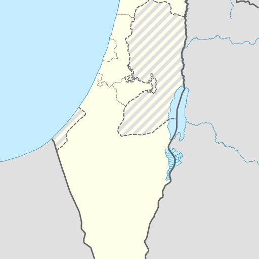
Cave in Israel's Northern District, Zefat. GeoNames ID 295599. Located at 33.0811, 35.47199. Elevation: 596 meters. Near Har Avivim (860 meters above sea level). Population density of 659 people per square kilometer. Climate: Mediterranean. Average temperature ranges from 10°C in January to 35°C in July. Annual rainfall is approximately 449 millimeters.
Me'arot Aviv, also known as Aviv Caves, is a notable cave system located in the Northern District of Israel, near the city of Safed. Situated at an elevation of 596 meters above sea level, these caves are part of a hilly region characterized by its moderate climate. The surrounding landscape is predominantly agricultural, with a population density of approximately 659 people per square kilometer. The area is known for its natural features, including springs, forests, and other caves, which are relatively common in the region. The climate in Me'arot Aviv is temperate, with average temperatures ranging from 10°C in January to 32°C in July. The area receives an average annual rainfall of 449 millimeters, with January being the wettest month and June the driest. The caves are part of a broader geographical area that includes Har Avivim, the highest point nearby at 860 meters, located 1.7 kilometers to the east. Me'arot Aviv is a point of interest for both locals and tourists, offering a glimpse into the natural beauty and geological features of northern Israel. The caves are accessible to the public and provide opportunities for exploration and appreciation of the region's unique landscape.