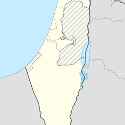
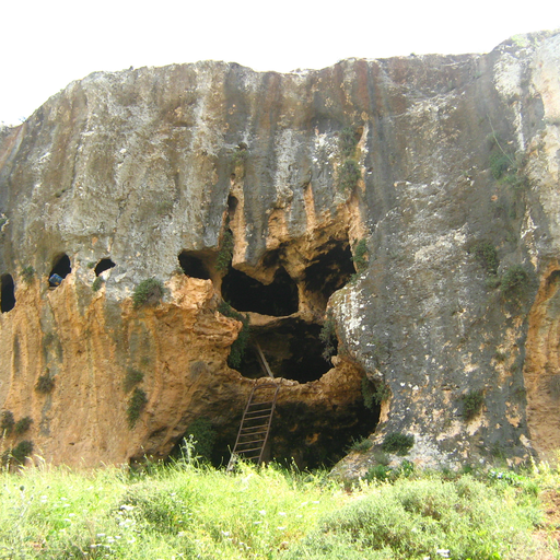
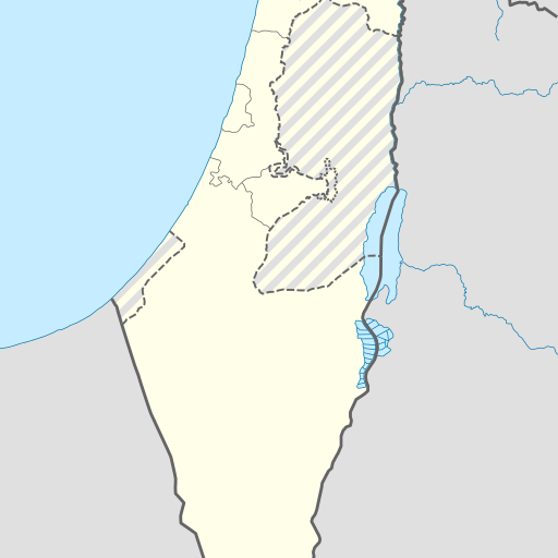
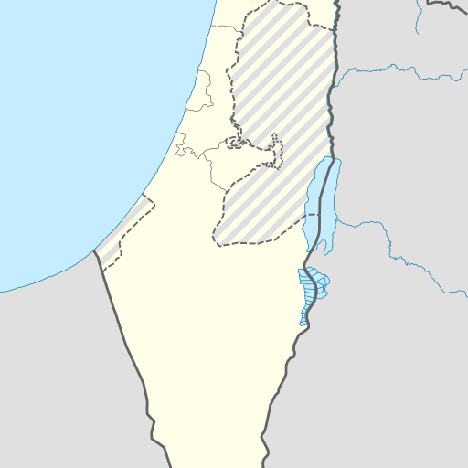
Cave in Israel's Northern District, located near Safed.
Cave in Israel's Northern District, Zefat. Geonames ID 9193700. Located at coordinates 33.06564, 35.47765. The cave is located in a mountainous region with a population density of approximately 659 people per square kilometer. The closest city is Safed, about 11.3 kilometers away. The climate is Mediterranean, with average temperatures ranging from 10°C in January to 35°C in July.
Me‘arat Dishon, also known as Dishon Cave, is a notable cave located in the Northern District of Israel, near the town of Safed. Situated at an elevation of 700 meters above sea level, the cave is part of a hilly region characterized by its moderate climate. The surrounding area is predominantly agricultural, with a population density of approximately 659 people per square kilometer. The landscape around Me‘arat Dishon includes springs, forests, and other caves, making it a region rich in natural features. The highest point in the vicinity is Har Meron, which stands at 1,208 meters and is located about 9.7 kilometers southwest of the cave. The climate in the area is temperate, with average temperatures ranging from 10°C in January to 32°C in July. The region receives an average annual rainfall of 449 millimeters, with January being the wettest month and June the driest. Me‘arat Dishon is part of a network of caves and natural formations that attract visitors interested in exploring the unique geological and ecological aspects of the Northern District. The cave's location and natural surroundings make it a point of interest for both locals and tourists seeking to experience the natural beauty and tranquility of this part of Israel.