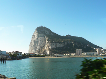
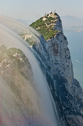
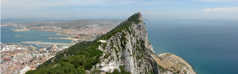
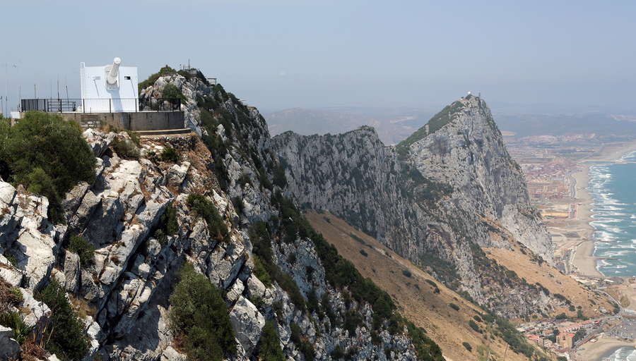
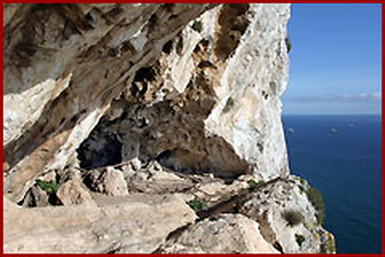
Monolithic limestone promontory in Gibraltar, famous landmark and tourist attraction.
The Rock of Gibraltar is a 426‑metre monolithic limestone promontory on the Iberian Peninsula, within the British Overseas Territory of Gibraltar. Part of the Betic Cordillera, it forms a peninsula projecting into the Strait of Gibraltar and Atlantic‑Mediterranean watershed, renowned as a historic landmark and major tourist attraction.
The Rock of Gibraltar is a monolithic limestone promontory and prominent tourist attraction in the British Overseas Territory of Gibraltar on the Iberian Peninsula. Rising to about 426 metres above sea level, it forms part of the Betic Cordillera mountain system and lies at the Atlantic‑Mediterranean watershed in the Strait of Gibraltar. Geologically, the Rock originated in the Jurassic period, around 200 million years ago, when the African and Eurasian tectonic plates collided. This process helped shape the Mediterranean basin. Composed largely of limestone, the Rock contains more than 100 caves. St. Michael’s Cave on the western slope is noted as a major attraction, while Gorham’s Cave near sea level on the eastern side has yielded archaeological evidence of Neanderthal presence about 30,000 years ago. Historically, the Rock was known as one of the Pillars of Hercules and has long held strategic importance. It contains an extensive network of tunnels exceeding 50 kilometres, begun during the Great Siege of Gibraltar in the late eighteenth century and later expanded, including during the Second World War. Much of the upper area is a nature reserve that, according to various sources, attracts many visitors.