Subterranean military shelter in Gibraltar linked to secret Operation Tracer.
Lord Airey's Shelter is a subterranean military shelter in Gibraltar, near the southern end of the Upper Rock Nature Reserve, adjacent to Lord Airey’s Battery. Owned by the UK Ministry of Defence and closed to the public, its tunnel system was selected as the site for the secret Second World War Operation Tracer.
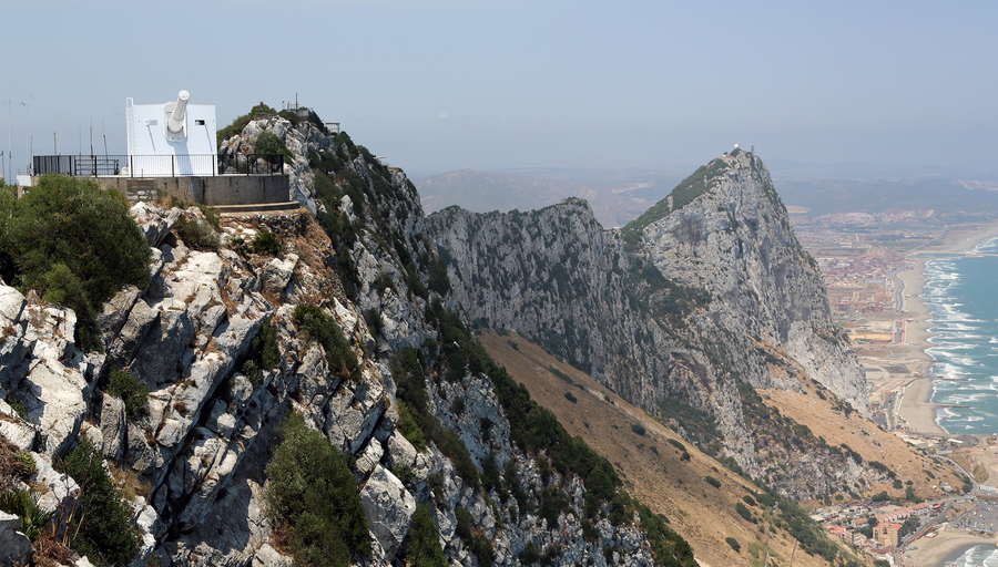
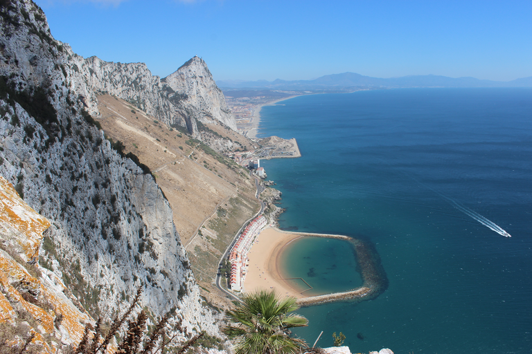
Lord Airey's Shelter is a subterranean military shelter within the British Overseas Territory of Gibraltar, near the southern end of the Upper Rock Nature Reserve and adjacent to Lord Airey’s Battery and the Mediterranean Steps. It stands on Ministry of Defence property and is not open to the public, with unauthorised entry a criminal offence. The shelter was named after General Sir Richard Airey, who served as Governor of Gibraltar. Built before the Second World War, it later became closely associated with the highly classified Operation Tracer, a wartime plan to create an underground observation and radio post inside the Rock of Gibraltar. The tunnel system of Lord Airey’s Shelter was chosen as the location for this operation’s underground complex. Inside, the main room measured about 112 feet in length and 15 feet in width. At its south end were a stove and an exit to the Mediterranean Steps, plus a passage linking to the wider tunnel system. At the north end, two smaller chambers included a wash pit and a ventilation conduit, both similar to features later discovered in Operation Tracer’s Stay Behind Cave. A steep tunnel to a lower level may have served as a spoil chute for tunnelling debris.