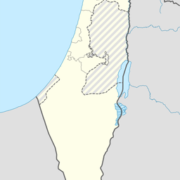
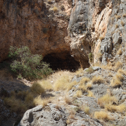
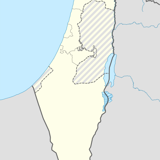
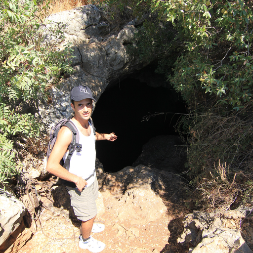
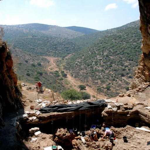
Cave in Israel's Northern District, located near Karmiel.
Cave in Israel's Northern District, located near Karmiel. Me'arat Shezor is 448 meters above sea level and has a Mediterranean climate. The cave is surrounded by hills and forests, with Mount Har Shezor nearby. The population density around the cave is moderate.
Me‘arat Shezor is a cave located in the Northern District of Israel, near the town of Karmi'el. Situated at an elevation of 448 meters above sea level, the cave is part of a hilly region that transitions into mountainous terrain to the east. The surrounding area is characterized by a Mediterranean climate, with hot, dry summers and mild, wet winters. Average temperatures range from 10°C in January to 32°C in July, while annual rainfall averages 553 millimeters, with January being the wettest month. The landscape around Me‘arat Shezor is predominantly forested, with a mix of springs, caves, and woodlands, making it a unique ecological zone. The cave itself is part of a network of natural features that include the nearby Har Shezor, the highest point in the vicinity at 867 meters. The region is sparsely populated, with about 90 people per square kilometer, and the nearest larger town is Karmi'el, located approximately 3.9 kilometers to the southwest. Me‘arat Shezor is a point of interest for both its natural beauty and its geological significance. It offers opportunities for hiking and exploration, attracting visitors interested in nature and outdoor activities. The cave and its surroundings provide a serene escape into nature, away from urban life.