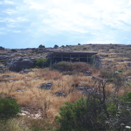
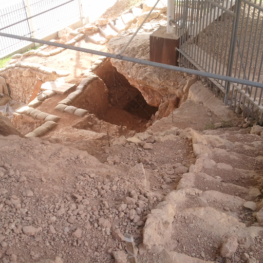
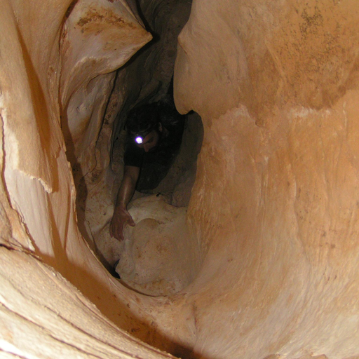
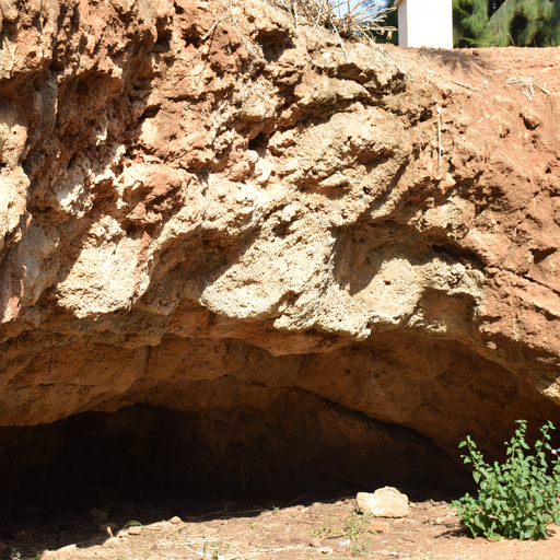
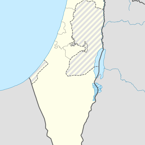
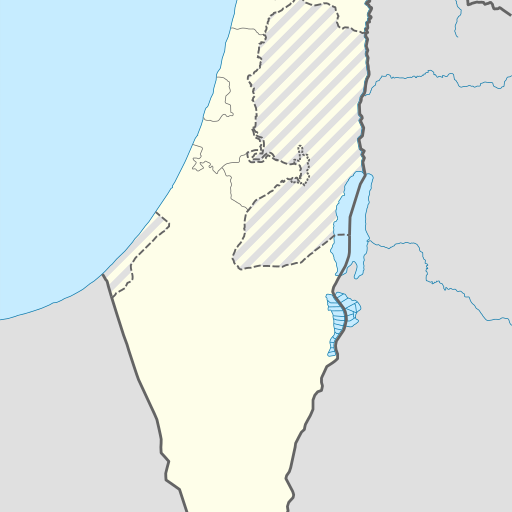
Cave in Israel's Central District, located near Ramla.
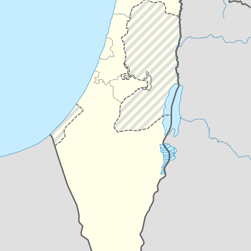
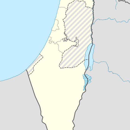
Me‘arot Bareqet is a cave in the Central District of Israel, located near Tel Aviv. It sits at an elevation of 143 meters above sea level and is part of the Eastern European Time zone. The area features mostly flat terrain with some hills to the east.
Me‘arot Bareqet is a cave located in the Central District of Israel, approximately 143 meters above sea level. Situated near Tel Aviv, it lies within a region characterized by flat terrain with hills to the east. The nearest significant elevation point is Shemurat Hadom Shomron at 274 meters. The area around Me‘arot Bareqet has a population density of about 331 people per square kilometer. The cave's climate is Mediterranean, with average temperatures ranging from 11°C in January to 32°C in July. Annual precipitation averages 820 millimeters, peaking in February and dropping significantly by August. The region experiences mild winters and hot summers, typical of coastal areas in the eastern Mediterranean. Me‘arot Bareqet is part of a larger system of caves that have been significant for archaeological studies due to their historical importance and well-preserved artifacts from prehistoric times. While there are no specific management details available, the cave's location within a populated area suggests it may be accessible to visitors interested in exploring its geological and cultural significance. The surrounding landscape is predominantly covered with vegetation typical of Mediterranean climates, including shrubs and small trees. The area benefits from NASA Earth Observations data for land cover classification and population density studies, providing valuable insights into environmental conditions and human settlement patterns around the cave site.