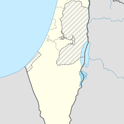
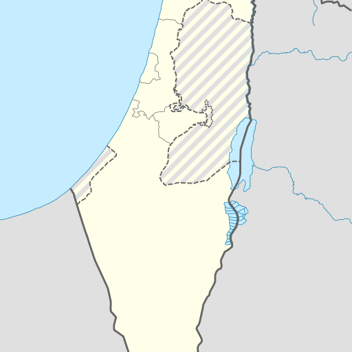
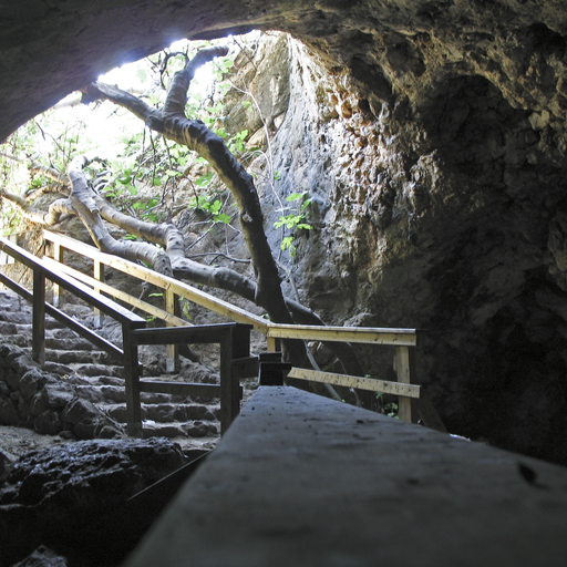
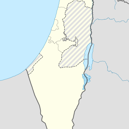
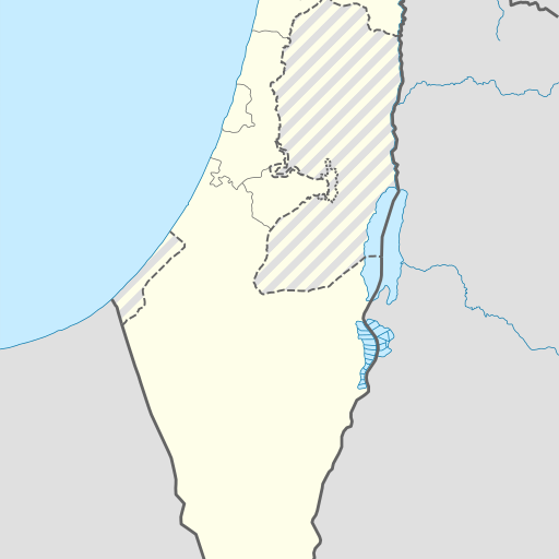
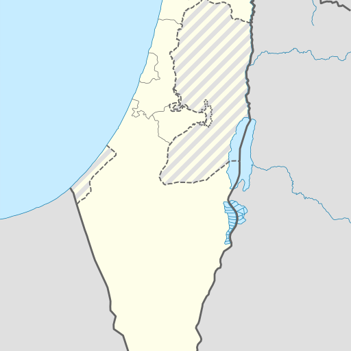
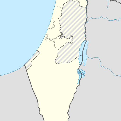
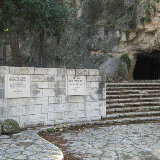
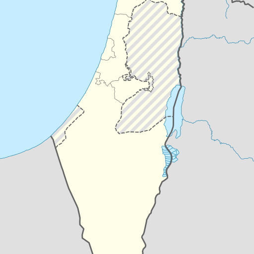
Me‘arat ‘Eżyona is a cave in the Jerusalem District of Israel. Located at 31.68525°N, 35.04414°E, it sits at an elevation of 509 meters above sea level. The area around the cave features rolling hills and forests.
Me‘arat ‘Eżyona is a cave located in the Jerusalem District of Israel, approximately 5 kilometers south-southeast of Jerusalem. The cave sits at an elevation of 509 meters above sea level and is situated on a hilltop with views over the surrounding area. Nearby features include other caves, springs, and forests.
The climate around Me‘arat ‘Eżyona is Mediterranean, characterized by hot summers and mild winters. Average temperatures range from about 10°C in January to 31°C in July. Annual precipitation averages around 820 millimeters, with the wettest month being February and the driest being August.
The cave's location places it within a region of diverse topography, including hills and valleys. The area is sparsely populated compared to other parts of Israel, with the nearest significant settlement being Jerusalem about 19 kilometers away. Vegetation in the vicinity includes typical Mediterranean scrubland and woodland areas.
While Me‘arat ‘Eżyona does not have a specific historical or cultural designation as a landmark, its geological significance lies in its position within an area known for karstic formations and underground water systems. The cave is part of a larger network of natural features that contribute to the unique landscape and ecology of this region.