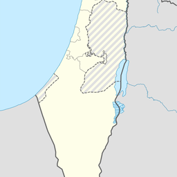
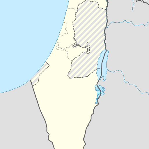
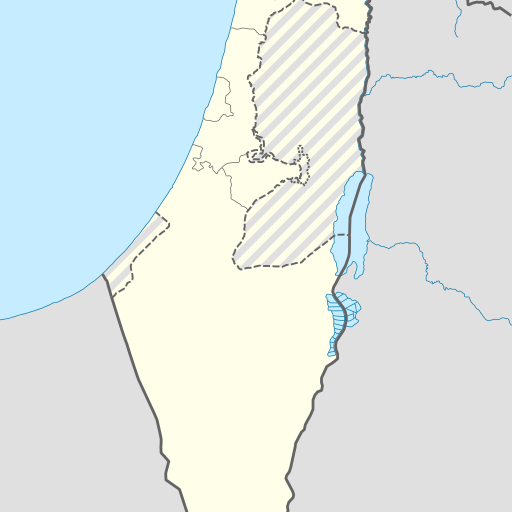
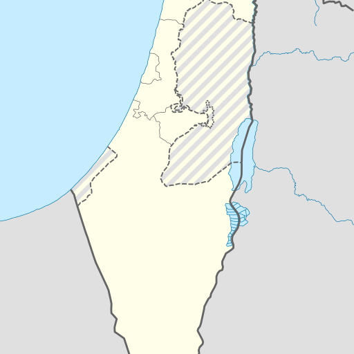
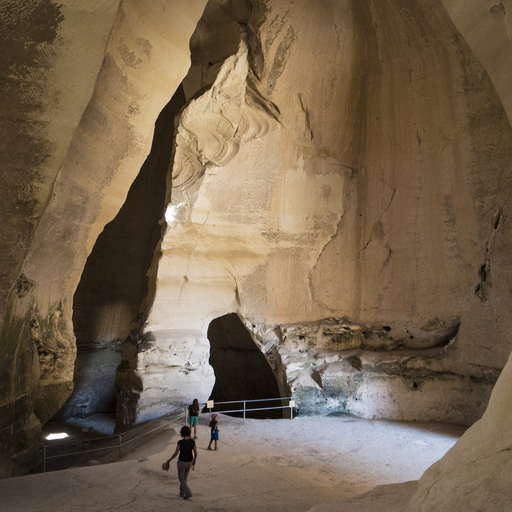
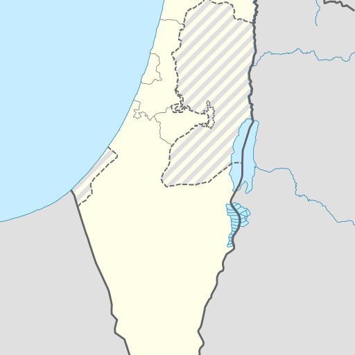
Ancient caves in Jerusalem District, Israel.
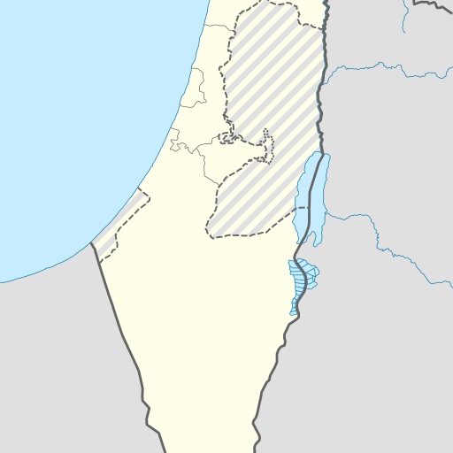
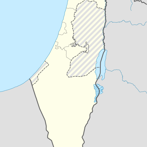
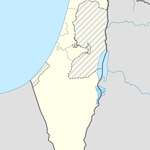
Cave in Israel's Jerusalem District, located in Jerusalem. Elevation 377 meters above sea level, coordinates 31.66473, 34.96362. Located near Har Sokho at 430 meters above sea level, 1.2 km east-southeast of the cave. Population density is approximately 530 people per square kilometer in the area surrounding the cave. The climate is Mediterranean with an average temperature of 21°C and annual rainfall of 820 mm.
Me'arot H̱ira is a cave located in the Jerusalem District of Israel, approximately 377 meters above sea level. The site is situated near Bet Shemesh and features a temperate climate with average temperatures ranging from 10°C to 31°C. The surrounding area includes diverse landscapes such as forests and additional caves. Me'arot H̱ira is part of the broader archaeological and geological significance of the region, offering insights into its natural history and human habitation over millennia. The cave system is notable for its historical and cultural importance, attracting visitors interested in exploring its unique features and learning about the area's past. Nearby landmarks include Har Sokho, a hill approximately 430 meters above sea level. The region around Me'arot H̱ira is characterized by varied terrain, with flat areas to the west and more elevated land to the east. The climate in this part of Israel is generally dry, receiving an average annual rainfall of about 820 millimeters, concentrated mainly during winter months. Vegetation in the vicinity includes typical Mediterranean scrubland and forests, providing a rich ecosystem for flora and fauna. The area's geological diversity supports various recreational activities such as hiking and nature observation. Me'arot H̱ira remains an important site for both scientific research and public education, offering a window into the natural and human history of this significant region in Israel.