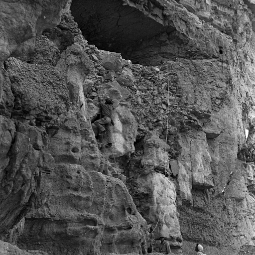
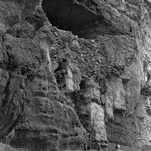
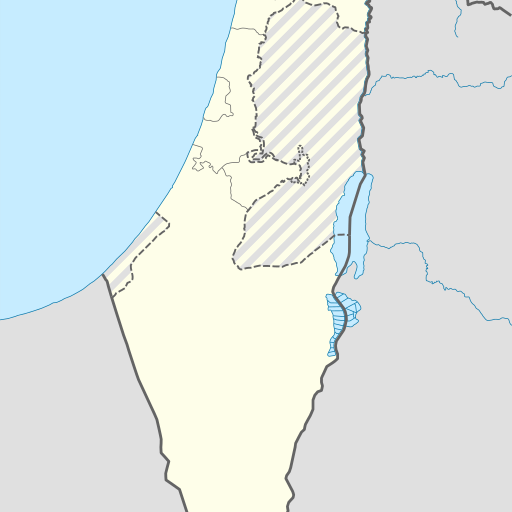
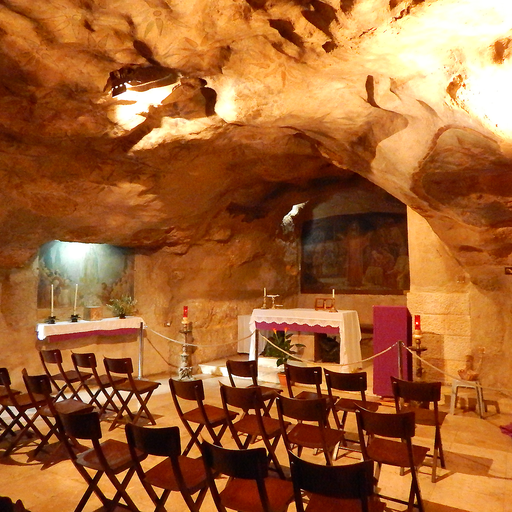
Cave in Israel's Be'er Sheva district, Southern District.
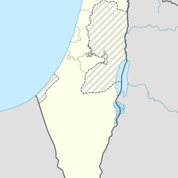
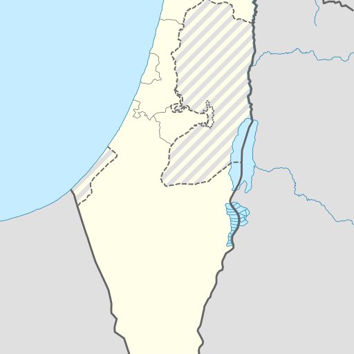
Me'arat HaBerekha is a cave located in the Southern District of Israel, near Be'er Sheva. It sits at an elevation of 2 meters above sea level and has coordinates 31.47239°N, 35.37452°E. The surrounding area features varied terrain with nearby landmarks like ‘En Gedi.
Me'arat HaBerekha is a cave located in the Southern District of Israel, specifically within the Be'er Sheva district. The cave is situated at an elevation of 2 meters above sea level, with coordinates approximately at 31.47239° latitude and 35.37452° longitude. The surrounding terrain is varied, with lower, hilly areas to the east. The nearest larger town is ‘En Gedi, located about 2.4 kilometers to the south. The climate in the area is moderate, with average temperatures around 25°C. August is the hottest month, with temperatures reaching up to 33°C, while February is the coldest, with temperatures dropping to around 17°C. The region receives an average annual rainfall of 814 millimeters, with February being the wettest month, receiving about 163 millimeters of rain, and August being the driest, with only 1 millimeter of precipitation. Despite its geographical significance, there is limited information available about the cave's history, current status, or cultural significance. It primarily serves as a geographical landmark within the region. The cave's accessibility, ownership, and any potential activities or events associated with it are not well-documented, making it a lesser-known point of interest in the area.