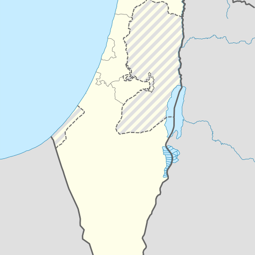
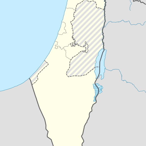
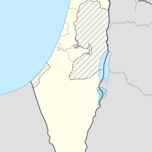
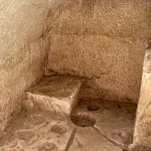
Cave in southern Israel's Be'er Sheva district.
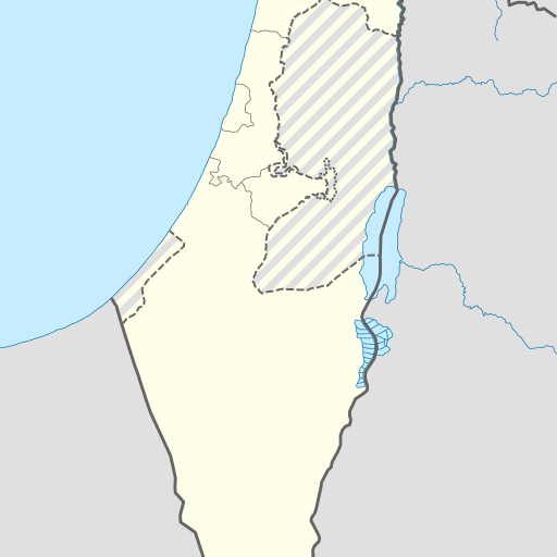
Me‘arat Ashalim is a cave in southern Israel's Southern District. Located at 30.9438°N, 34.7385°E, it sits at an elevation of 417 meters above sea level. The area around the cave features semi-arid desert landscapes with minimal population density.
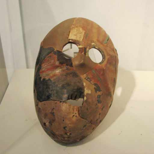
Me‘arat Ashalim is a cave located in the Southern District of Israel, near the city of Yeroham. The site sits at an elevation of 417 meters above sea level and is situated within a semi-arid landscape characterized by rocky terrain. The surrounding area has a sparse population, with the nearest significant settlement being Yeroham to the east. The cave's climate is classified as hot desert, with average temperatures ranging from around 23°C annually, peaking at 32°C in July and dropping to 10°C in January. Annual precipitation averages about 130 millimeters, concentrated mainly during winter months when rainfall can reach up to 31 mm. Me‘arat Ashalim is part of a larger geological formation that includes various caves and rock formations typical of the Negev Desert region. The cave itself has been studied for its archaeological significance, with excavations revealing artifacts dating back thousands of years. It serves as an important site for both scientific research and tourism, offering insights into prehistoric human activity in this arid environment. The area around Me‘arat Ashalim is managed by local authorities who work to preserve the natural and cultural heritage while allowing controlled access for visitors interested in exploring its historical and geological features.