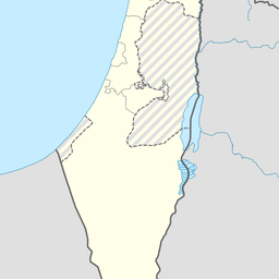
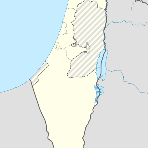
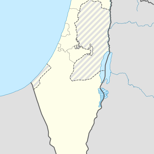
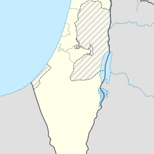
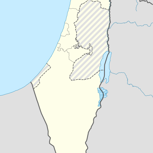
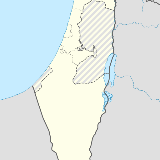
Cave in Israel's Southern District, Ashqelon region.
Cave in Israel's Southern District, Ashqelon region. Located near the Mediterranean Sea, it has a length of 383 meters and an average population density of 126 people per square kilometer. The climate is Mediterranean with temperatures ranging from 11°C in January to 32°C in July.
Me'arat Aẖino'am is a cave located in the Southern District of Israel, near Qiryat Gat. Situated at an elevation of 288 meters above sea level, it lies within a region characterized by flat terrain with some hills to the north. The area around the cave supports a population density of approximately 383 people per square kilometer and is covered primarily by vegetation. The climate in this part of Israel is Mediterranean, with average temperatures ranging from about 11°C in January to 32°C in July. Annual precipitation totals around 486 millimeters, peaking at 126 mm in January and dropping to just 1 mm in June. The cave's surroundings include forests and other caves. Me'arat Aẖino'am is part of a larger network of geological features in the region, contributing to its significance as both a natural landmark and an area of scientific interest. Its location near Qiryat Gat makes it accessible for visitors interested in exploring this unique underground environment.