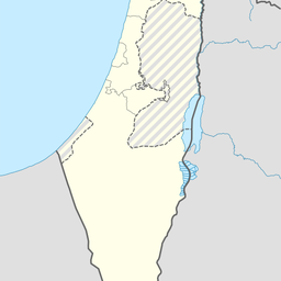
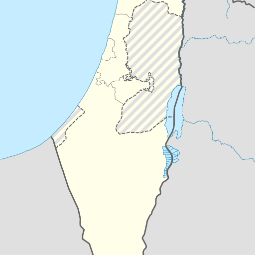
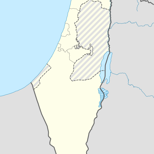
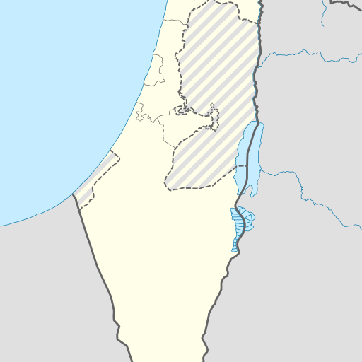
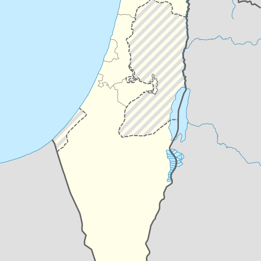
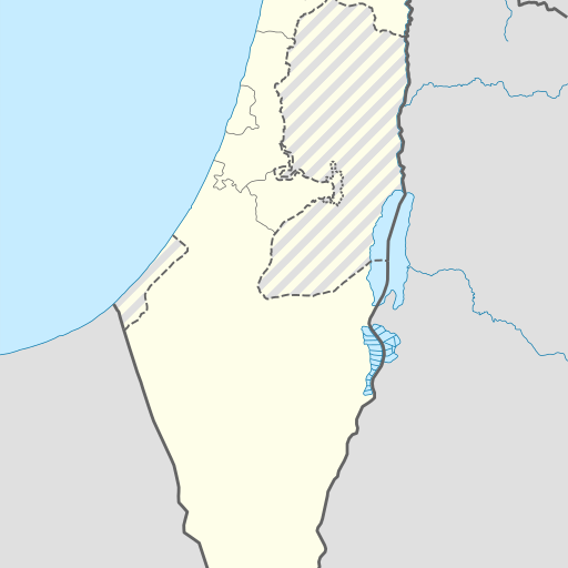
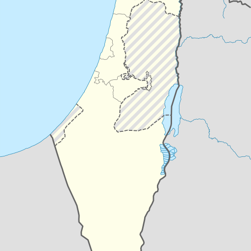
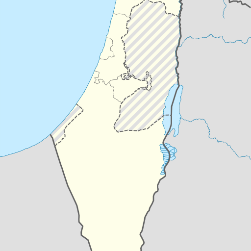
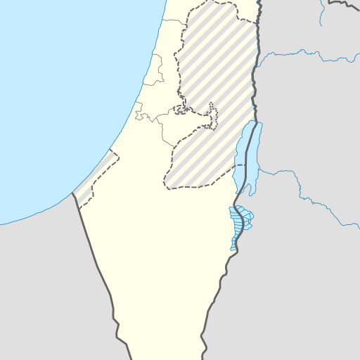
Cave in Israel's Southern District, Ashqelon region.
Cave in Israel's Southern District, Ashqelon region. Located near the Mediterranean Sea, it is 300 meters above sea level and has a population density of 383 people per square kilometer. The cave is part of the Viewfinder Panoramas Digital elevation model.
Me'arat Avigayil is a cave located in the Southern District of Israel, near Qiryat Gat. Situated at an elevation of 300 meters above sea level, it lies within a region characterized by flat terrain with some hills to the north. The area around the cave supports a population density of approximately 383 people per square kilometer and is covered primarily by vegetation. The climate in this part of Israel is Mediterranean, with average temperatures ranging from about 11°C in January to 32°C in July. Annual precipitation averages around 486 millimeters, with the wettest month being January at approximately 126 millimeters of rainfall and the driest being June with virtually no rain. Me'arat Avigayil is part of a larger landscape that includes forests and other caves. The cave's exact dimensions are not detailed in available sources, but it holds cultural significance within Israel’s Southern District. While specific historical details about its discovery or exploration are limited, the site remains an important geological feature for both scientific study and local interest.