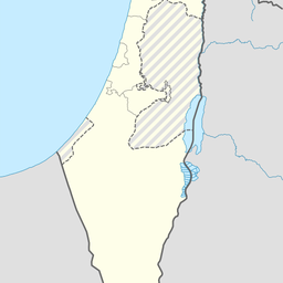
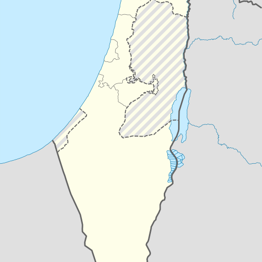
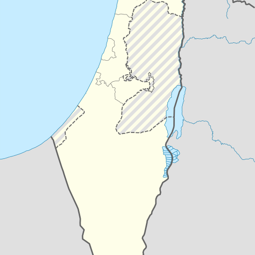
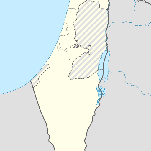
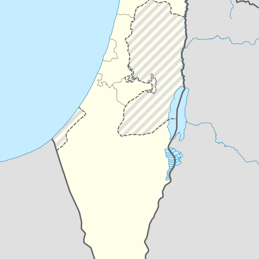
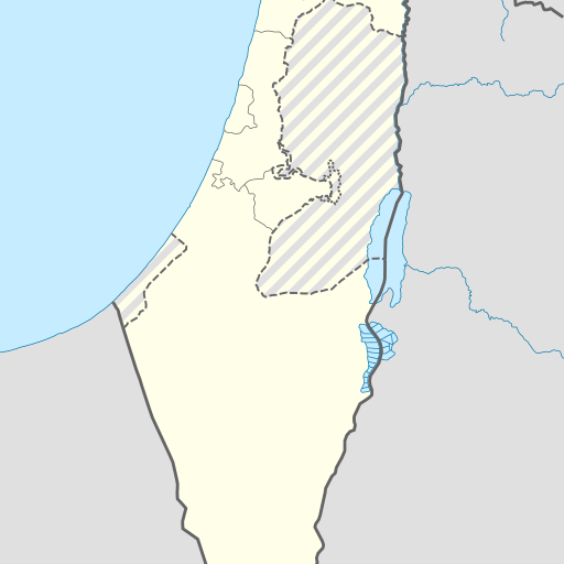
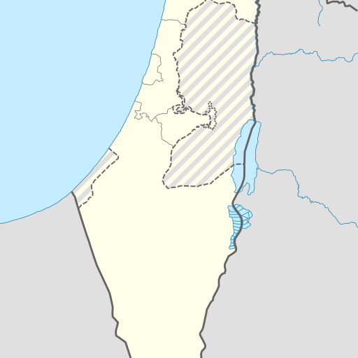
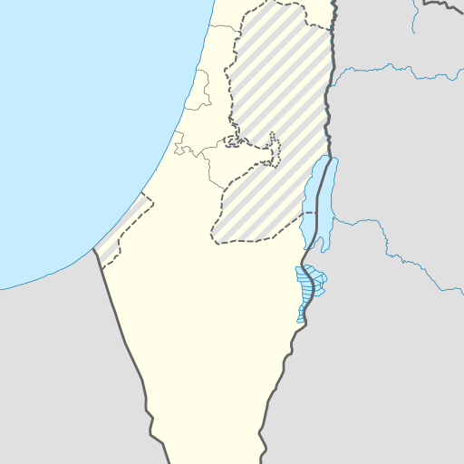
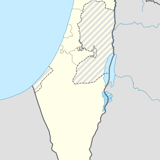
Cave in Israel's Southern District, Ashqelon region.
Cave in Israel's Southern District, Ashqelon region. GeoNames ID 9030628. Located near Har Ezroa‘, 1.8 km away. Population density of 383 people per square kilometer. Mediteranean climate with average temperature of 22°C in July and 11°C in January.
Me'arat Bat Sheva is a cave located in the Southern District of Israel, near Qiryat Gat. It sits at an elevation of 307 meters above sea level and is surrounded by flat terrain with some hills to the north. The nearest significant town is Qiryat Gat, about 14 kilometers west. The cave's climate is Mediterranean, with hot summers averaging around 32°C and mild winters at approximately 11°C. Annual precipitation totals about 486 millimeters, mostly falling in January (126 mm) while June sees minimal rainfall (1 mm). Me'arat Bat Sheva is situated within a region characterized by forests and other caves. The area has a high population density, with over 380 people per square kilometer. Nearby landmarks include Har Ezroa‘, the highest point in the vicinity at 399 meters above sea level. The cave's exact geological formation and historical significance are not extensively documented, but it is an important natural feature within this part of Israel. Its location near Qiryat Gat makes it accessible for local exploration and study.