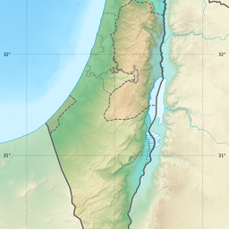
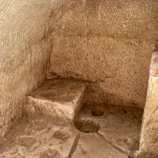
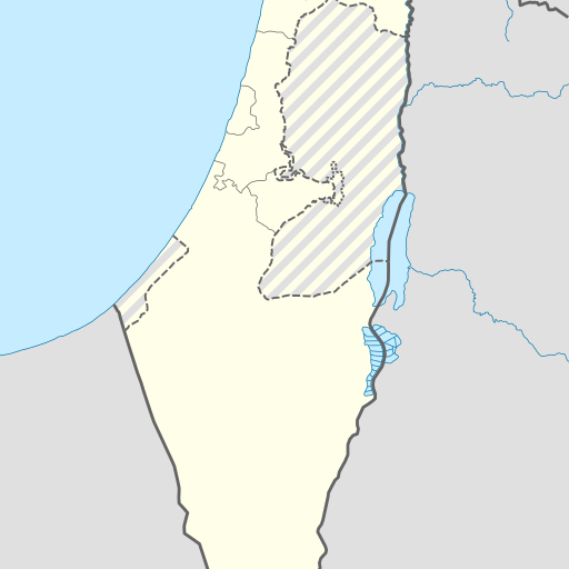
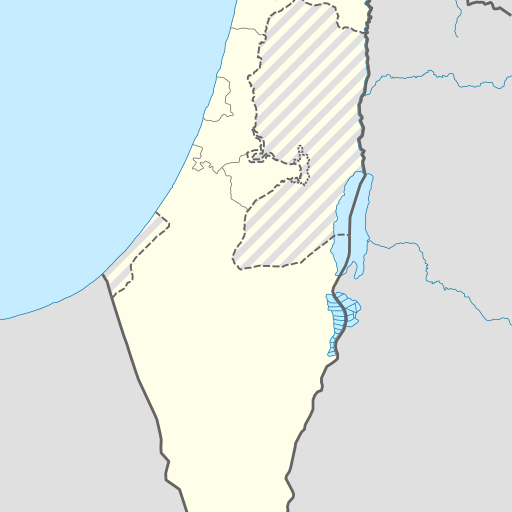
Cave in Israel's Southern District near Ashqelon.
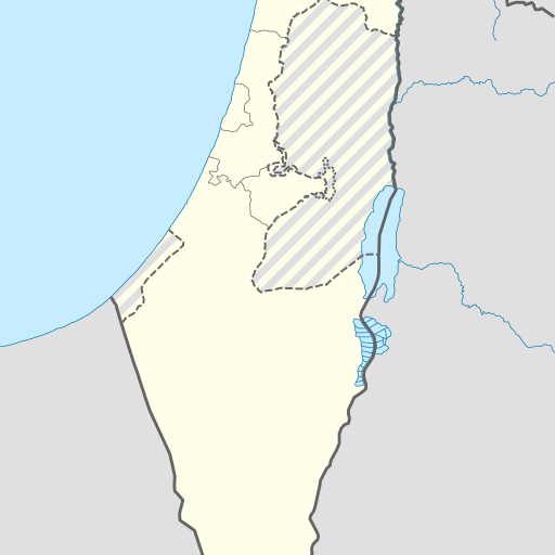
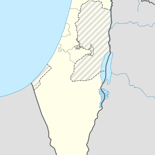
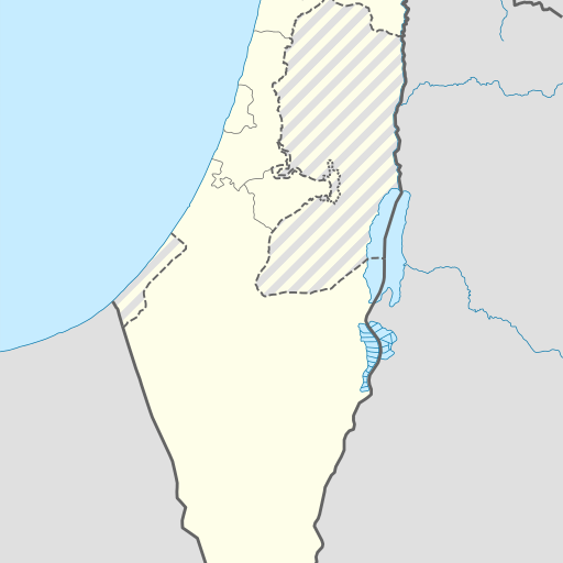
Me'arot Samakh is a cave in Israel’s Southern District near Ashqelon. Located east of Nirim and west of Lachish, it sits at 203 meters above sea level. The site includes archaeological ruins from Roman to Ottoman periods and features natural caves and a Sheikh's tomb.
Me'arot Samakh is a cave located in Israel’s Southern District near Ashqelon. Situated at an elevation of 203 meters above sea level, it lies approximately two kilometers east of the moshav No'am and three kilometers west of Lachish. The site encompasses a karstic depression with bell-shaped caves and archaeological ruins dating from Roman to Ottoman periods. The cave complex is part of a national park established in 2003, covering an area of about one square kilometer. It features natural rock formations and historical sites, including the remains of ancient settlements and a sheikh’s tomb. The surrounding landscape is characterized by rolling hills within the Shephelah region, transitioning between the Judean Mountains and coastal plains. While no detailed information on accessibility or specific cave features is available online, Me'arot Samakh offers insights into Israel's geological history and archaeological heritage. Visitors can explore the natural beauty of the area and learn about its historical significance through guided tours or self-guided exploration. The site’s coordinates are accessible via an interactive map on Amudanan’s website, allowing users to add it to their personal travel lists for future visits. Despite limited public information, Me'arot Samakh remains a significant location for those interested in geology and archaeology, providing a glimpse into the region's past through its unique geological formations and historical artifacts.