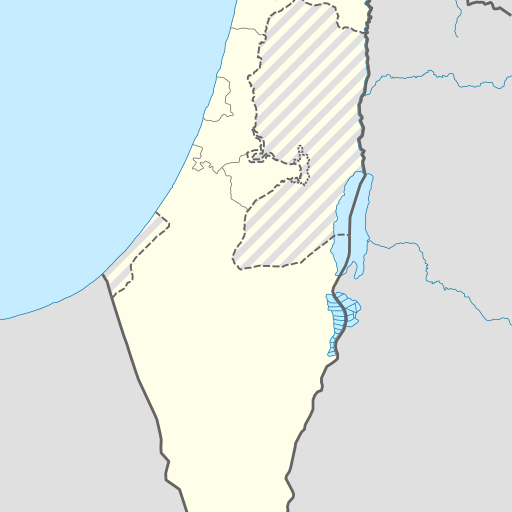
National park in Israel's Southern District, near Kiryat Gat and Lachiš.
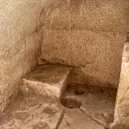
Me'arot Samakh is a national park in southern Israel, near Kiryat Gat and Lachish. It features ancient caves and archaeological remains from Roman to Ottoman periods, covering 723 dunams with natural scenery along Wadi No'am.
Me'arot Samakh is a national park in Israel's Southern District, located near Kiryat Gat and Lachish. The park covers an area of 1 square kilometer and was established in 2003. It features a complex of caves set within the natural landscape of the Shephelah region, which lies between the Judean Mountains and the coastal plain. Me'arot Samakh is situated near Nahal No'am stream and includes archaeological remains dating from Roman times to the Ottoman period. The park also contains a ruined fortress called Horbat Samach and a sheikh's tomb named Abdallah. The site offers visitors an opportunity to explore its unique geological formations, including bell-shaped caves known as "mushroom" caves. These features are part of a karst landscape that has been shaped over millennia by water erosion. The park is accessible via Road 6, making it convenient for tourists and nature enthusiasts. While specific details about guided tours or facilities within the park are not provided, visitors can enjoy hiking trails and scenic views. Me'arot Samakh is managed by the Israel Nature and Parks Authority and can be easily marked on maps using websites like Amudanan, which provides detailed instructions for pinpointing locations accurately. This makes it simple to plan visits and integrate Me'arot Samakh into broader travel routes across southern Israel.