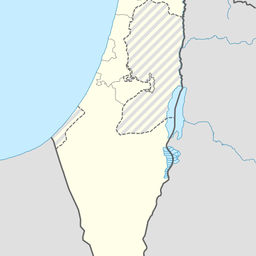
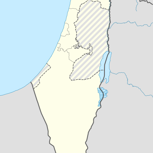
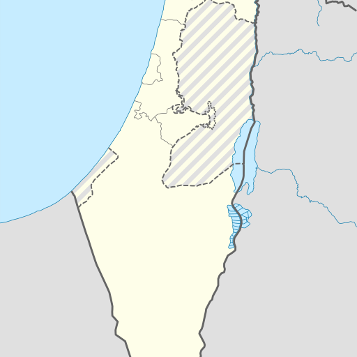
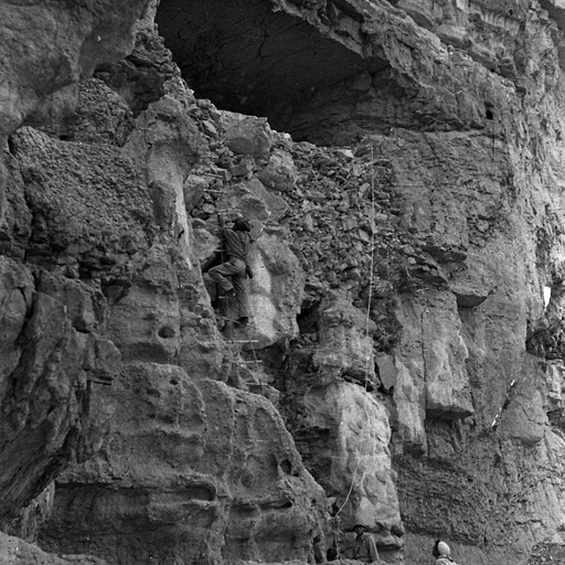
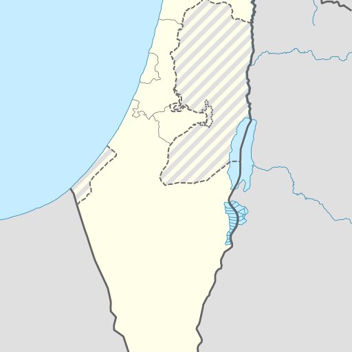
Cave in southern Israel, located in Be'er Sheva district.
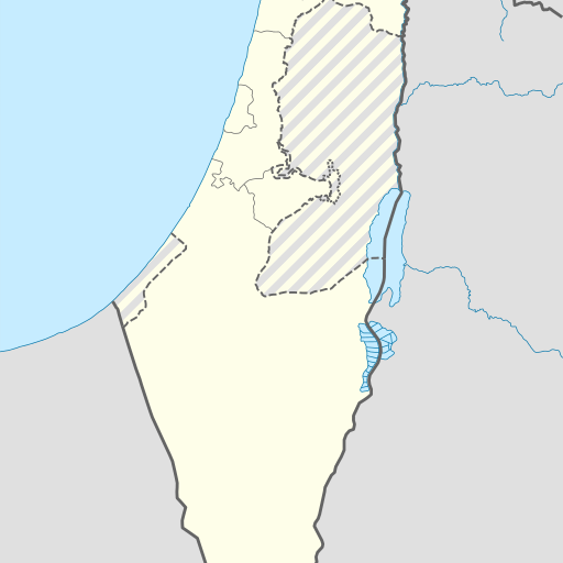
Me‘arat Qemaẖ is a cave in southern Israel's Southern District. It lies near the city of ‘En Boqeq, surrounded by hilly terrain with an arid climate and sparse vegetation. The area has a population density of about 52 people per square kilometer.
Me‘arat Qemaẖ is a cave located in the Southern District of Israel, near the city of Be'er Sheva. The cave is situated in a region characterized by a mix of hilly terrain to the northwest and flatlands to the southeast. The surrounding area is sparsely populated, with the nearest larger settlement being ‘En Boqeq, approximately 12.7 kilometers to the north. The climate in the region is moderate, with average temperatures ranging from 16°C in January to 39°C in July. The area receives an average annual rainfall of 814 millimeters, with February being the wettest month and August the driest. The cave, known in Hebrew as מערת קמח (Me‘arat Kemaẖ), is a natural geological formation and is part of the diverse landscape of the Southern District. The district itself is known for its varied topography, which includes desert areas, mountains, and valleys. Me‘arat Qemaẖ is a point of interest for those exploring the natural and historical sites of Israel, offering insights into the region's geological history. While specific historical or cultural significance of the cave is not detailed, its presence adds to the rich tapestry of natural landmarks in the area, attracting visitors interested in geology and natural history.