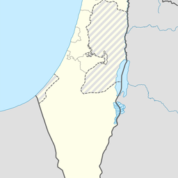
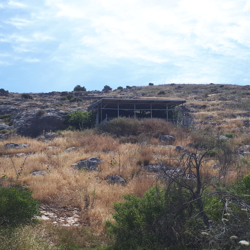
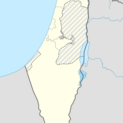
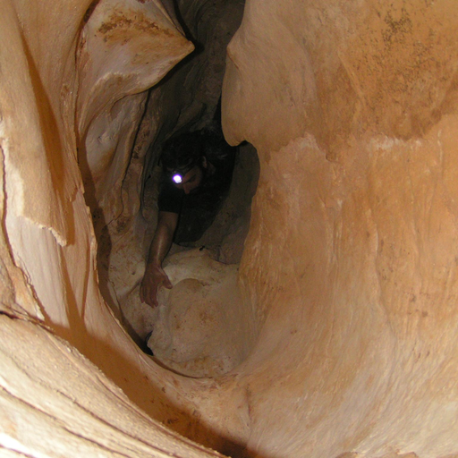
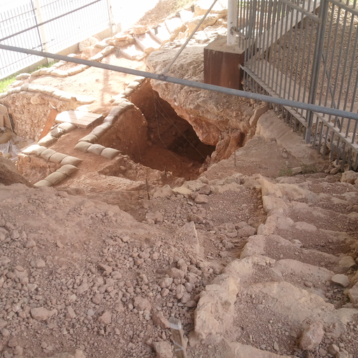
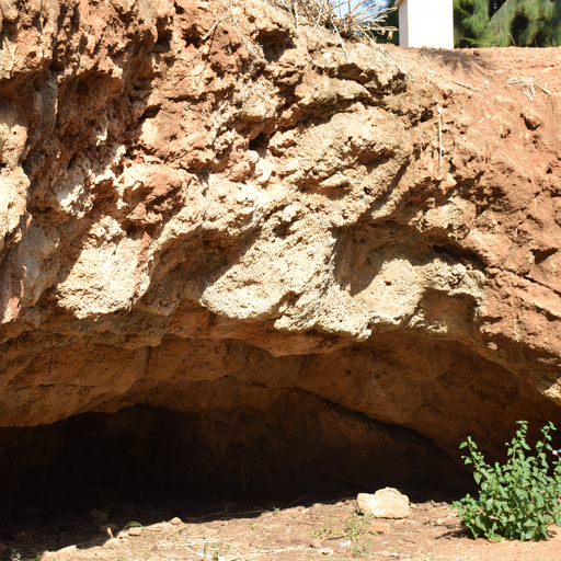
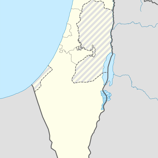
Cave in Israel's Central District, located near Ramla.
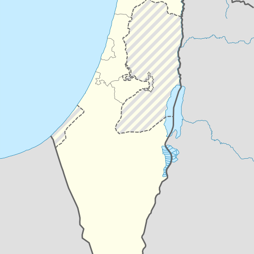
Cave Me'arat Oaḥ in Israel's Central District, located in the coastal plain but overlooking the western mountains. It is 106 meters above sea level and has a population density of 331 people per square kilometer. The cave is not far from Tel Aviv, the largest city in the district. The climate is Mediterranean with hot summers and mild winters. Rainfall averages 820 millimeters annually.
Me‘arat Oaẖ is a cave located in the Central District of Israel, approximately 19 kilometers east of Tel Aviv. The cave sits at an elevation of 106 meters above sea level and is situated on relatively flat terrain with hills to the southeast. Nearby landmarks include Shemurat Hadom Shomron, which stands about 274 meters above sea level. The region around Me‘arat Oaẖ has a Mediterranean climate characterized by mild winters and hot summers. Average temperatures range from approximately 11°C in January to 32°C in July. Annual precipitation averages around 820 millimeters, with the wettest month being February (161 mm) and the driest being August (6 mm). The cave is part of a larger karstic landscape featuring numerous sinkholes and underground water systems typical of this area. While there are no specific records indicating its historical significance or current usage, Me‘arat Oaẖ remains an important geological feature in the region due to its unique formation and location within a densely populated area. The surrounding land is predominantly covered by urban development with some agricultural areas interspersed. The cave’s proximity to Tel Aviv makes it potentially significant for both scientific research and recreational exploration, although access may be restricted due to safety concerns or conservation efforts.