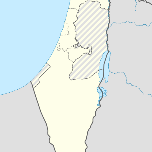
מערות בית גברין - כנסיות לאיזו שדה בישראל (Caves in Beit Guvrin National Park, Israel)
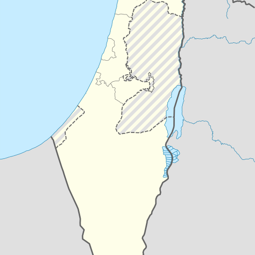
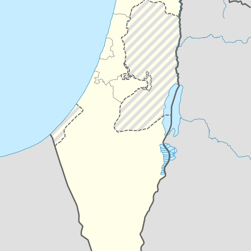
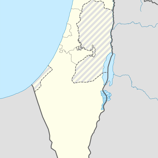
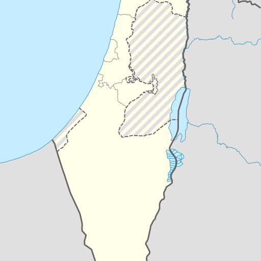
Caves in Beit Guvrin National Park, Israel, located in the Southern District. The caves are 295 meters above sea level and are part of a karst landscape with underground tunnels and chambers. The park is home to various species of bats and plants.
מערות בית גוברין נמצאות בפארק הלאומי בית גוברין שבדרום ישראל, במחוז הדרום. המערות הן חלק ממערכת מערות מרשימה שנחצבה באבן גיר רכה, והן כוללות מגוון רחב של חללים תת-קרקעיים ששימשו למטרות שונות לאורך ההיסטוריה. המערות שימשו כקולומבריה, מחסנים, בתי בד, בתי מגורים, מקוואות, ובתי קברות. המערות נבנו בתקופות שונות, החל מהתקופה ההלניסטית ועד לתקופה הביזנטית, והן מציגות עדות לפעילות אנושית ענפה באזור זה לאורך הדורות. הפארק הלאומי בית גוברין מציע למבקרים חוויה ייחודית של סיור במערות, עם שבילים מסומנים ומידע על ההיסטוריה והארכיאולוגיה של המקום. האזור סביב המערות הוא שטח חקלאי פורה, והאקלים הים-תיכוני מאפשר גידול מגוון של גידולים חקלאיים. המערות נמצאות בגובה של כ-295 מטרים מעל פני הים, והן מוקפות בנוף שטוח יחסית עם גבעות בצפון. העיר הקרובה ביותר היא קריית גת, הנמצאת כ-13 קילומטרים מערבה. האזור מאופיין בצפיפות אוכלוסין גבוהה יחסית, עם כ-383 תושבים לקילומטר רבוע. המערות והפארק מהווים אתר תיירות פופולרי, המושך אליו מבקרים רבים מהארץ ומהעולם.